Denali
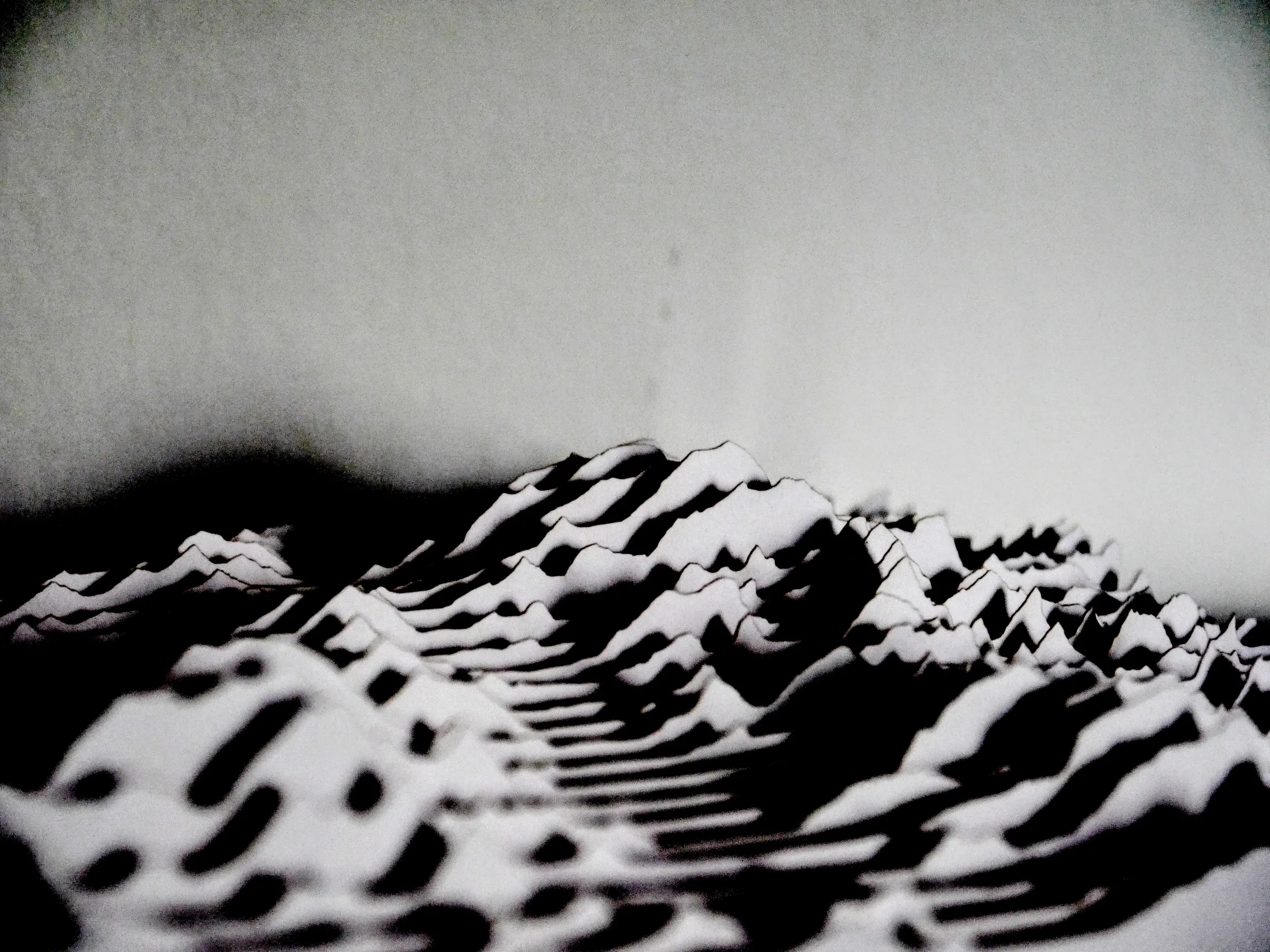
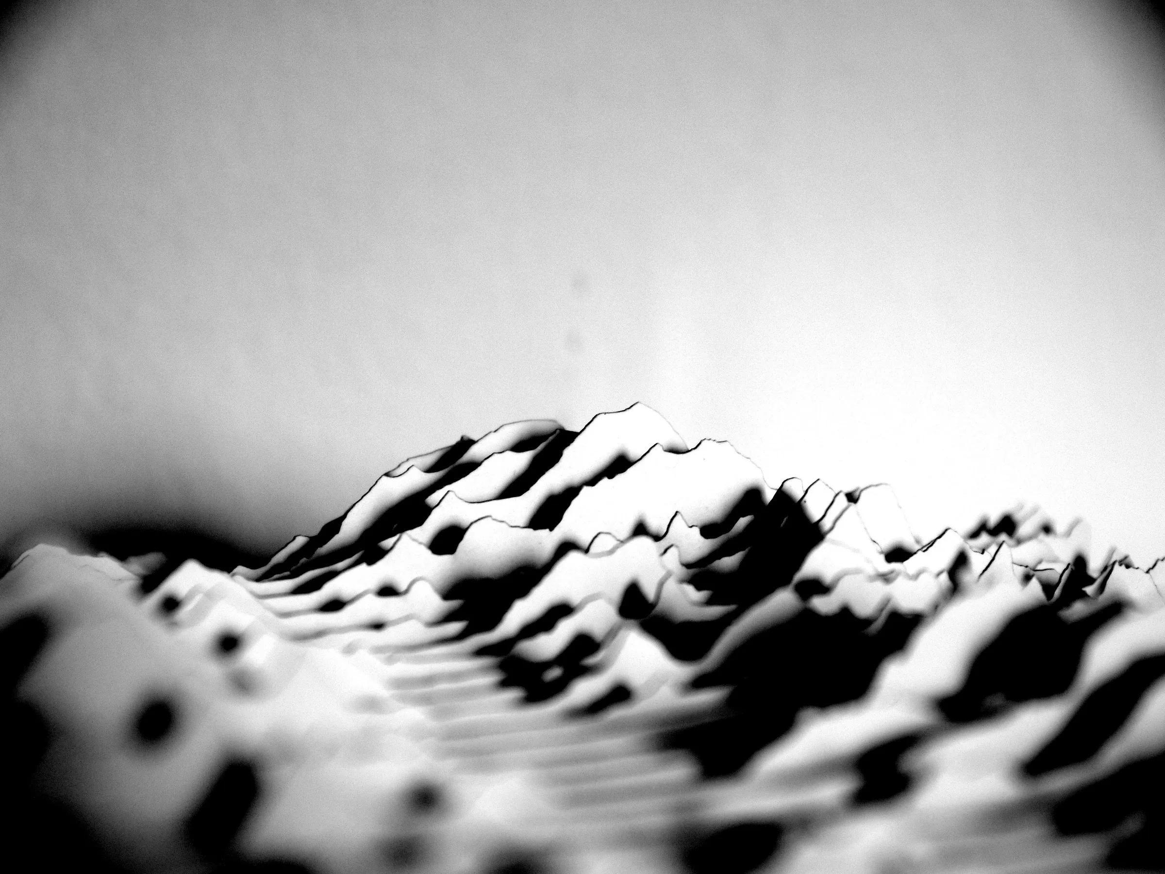
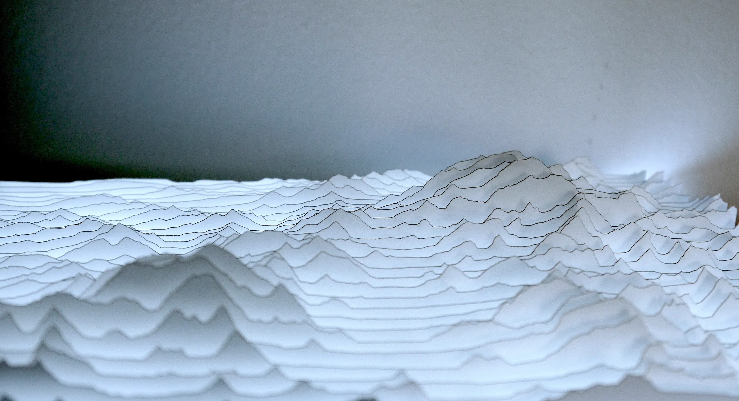
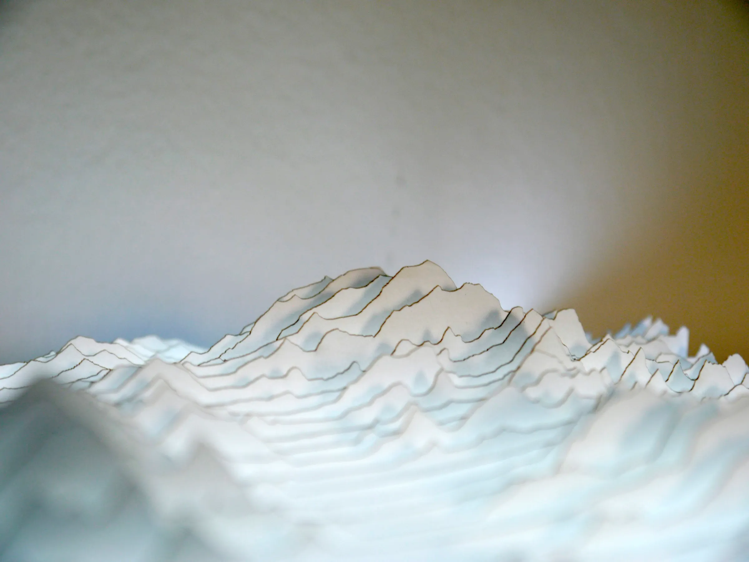
- Description
Denali was one of my first projects using a laser cutter for art. Lengths of cardstock are cut with height proportional to elevation, from an Alaskan landscape near Mt Denali and the Kahiltna Glacier. Arranged in parallel and braced with crosswise strips, they form a three-dimensional terrain map. The inspiration for this technique came from a 17th century derretero (harbor atlas), in which topography is painted with successive offsets, backwards from the shoreline. Others have told me that the result resembles the Joy Division cover. I described these referents and process in a blog post.
The effect is amusing (and collapsible!) in its own right, but becomes enchanting when set on a lightboard. The 3D perspective "works" in the sense that, with your eye at lamp level, the near and far mountains slide in and out of focus. However, if the viewer's sightline is aligned with the strips and passes through them, the piece becomes transparent and the effect is ruined. This need to control light angles, character, and sightlines set me to reviving an old hobby in lighting design, latent since high school.
- Year
- 2019
- Dimensions
- 10.5" × 9.5" × 1.75"
- Materials
- Laser-cut cardstock and a lightboard.
- Locations
- Mount Denali, Mount Foraker, and the Kahiltna Glacier
- Data Source
United States Geological Survey, National Elevation Dataset